


From Space to Soil: How NASA Sees Forests
NASA uses satellite lidar technology to study Earth’s forests, key carbon sinks.

1 min read
From Space to Soil: How NASA Sees Forests
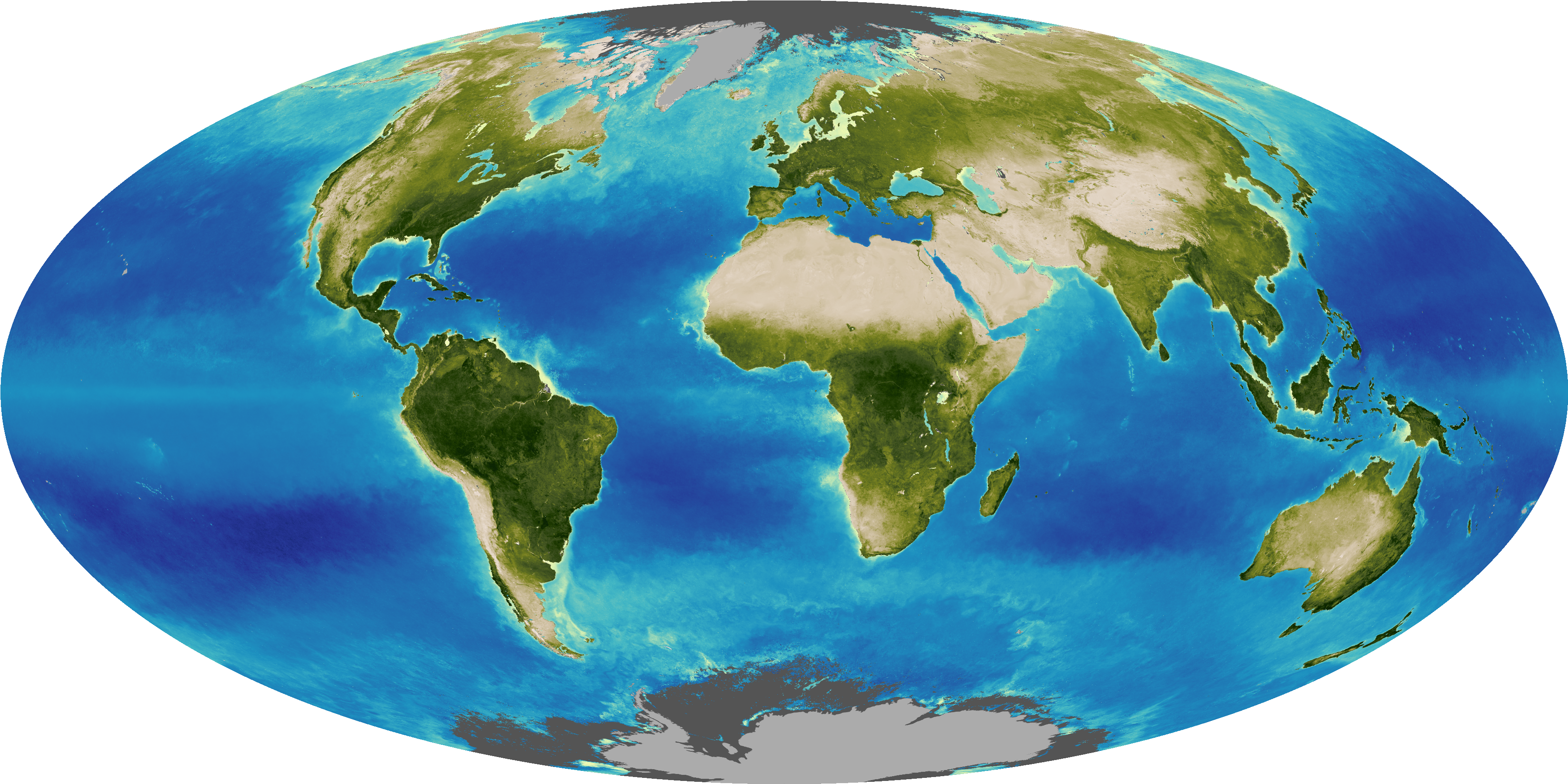
NASA uses satellite lidar technology to study Earth’s forests, key carbon sinks. The GEDI mission maps forest height and biomass from the International Space Station, while ICESat-2 fills polar data gaps. Together, they enable a first-of-its-kind global biomass map, guiding smarter forest conservation and carbon tracking.
Share
Details
Last Updated
Jun 17, 2025
Editor
Earth Science Division Editorial Team
Related Terms
Explore More


What's Your Reaction?


SIN
ScienceX Information Network (SIN) | ScienceX Innovations