NASA-developed Technology Supports Ocean Wind Speed Measurements from Commercial Satellite
A science antenna developed with support from NASA’s Earth Science Technology Office (ESTO) is now in low-Earth orbit aboard MuSat2, a commercial remote-sensing satellite flown by the aerospace company Muon Space. The dual-frequency science antenna was originally developed as part of the Next Generation GNSS Bistatic Radar Instrument (NGRx). Aboard MuSat2, it will help measure […]
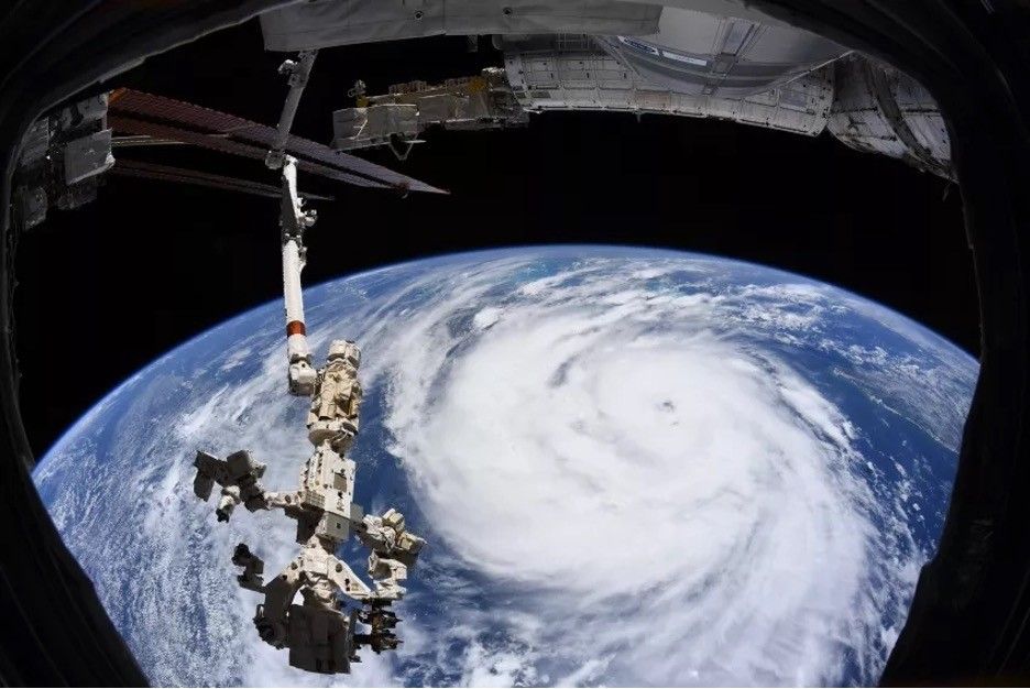
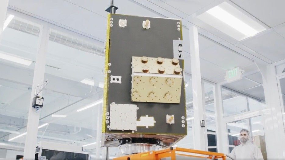
A science antenna developed with support from NASA’s Earth Science Technology Office (ESTO) is now in low-Earth orbit aboard MuSat2, a commercial remote-sensing satellite flown by the aerospace company Muon Space. The dual-frequency science antenna was originally developed as part of the Next Generation GNSS Bistatic Radar Instrument (NGRx). Aboard MuSat2, it will help measure ocean surface wind speed—an essential data point for scientists trying to forecast how severe a burgeoning hurricane will become.
“We’re very interested in adopting this technology and pushing it forward, both from a technology perspective and a product perspective,” said Jonathan Dyer, CEO of Muon.
Using this antenna, MuSat2 will gather signals transmitted by navigation satellites as they scatter off Earth’s surface and back into space. By recording how those scattered navigation signals change as they interact with Earth’s surface, MuSat2 will provide meteorologists with data points they can use to study severe weather.
“We use the standard GPS signals you know—the navigation signals that work for your car and your cell phone,” explained Chris Ruf, director of the University of Michigan Space Institute and principal investigator for NGRx.
Ruf designed the entire NGRx system to be an updated version of the sensors on NASA’s Cyclone Global Navigation Satellite System (CYGNSS), another technology he developed with support from ESTO. Since 2016, data from CYGNSS has been a critical resource for people dedicated to forecasting hurricanes.
The science antenna aboard MuSat2 enables two key improvements to the original CYGNSS design. First, the antenna allows MuSat2 to gather measurements from satellites outside the U.S.-based GPS system, such as the European Space Agency’s Galileo satellites. This capability enables MuSat2 to collect more data as it orbits Earth, improving its assessments of conditions on the planet’s surface.
Second, whereas CYGNSS only collected cross-polar radar signals, the updated science antenna also collects co-polar radar signals. This additional information could provide improved information about soil moisture, sea ice, and vegetation. “There’s a whole lot of science value in looking at both polarization components scattering from the Earth’s surface. You can separate apart the effects of vegetation from the effects of surface, itself,” explained Ruf.
For Muon Space, this technology infusion has been helpful to the company’s business and science missions. Dallas Masters, Vice President of Muon’s Signals of Opportunity Program, explains that NASA’s investments in NGRx technology made it much easier to produce a viable commercial remote sensing satellite. According to Masters, “NGRx-derived technology allowed us to start planning a flight mission early in our company’s existence, based around a payload we knew had flight heritage.”
Dyer agrees. “The fact that ESTO proves out these measurement approaches – the technology and the instrument, the science that you can actually derive, the products from that instrument – is a huge enabler for companies like ours, because we can adopt it knowing that much of the physics risk has been retired,” he said.
Ultimately, this advanced antenna technology for measuring ocean surface wind speed will make it easier for researchers to turn raw data into actionable science products and to develop more accurate forecasts.
“Information is absolutely precious. When it comes to forecast models and trying to understand what’s about to happen, you have to have as good an idea as you can of what’s already happening in the real world,” said oceanographer Lew Gramer, an Associate Scientist with the Cooperative Institute For Marine And Atmospheric Studies and NOAA’s Hurricane Research Division.
Project Lead: Chris Ruf, University of Michigan
Sponsoring Organizations: NASA’s Earth Science Technology Office and Muon Space
Share
Details
Related Terms
What's Your Reaction?


