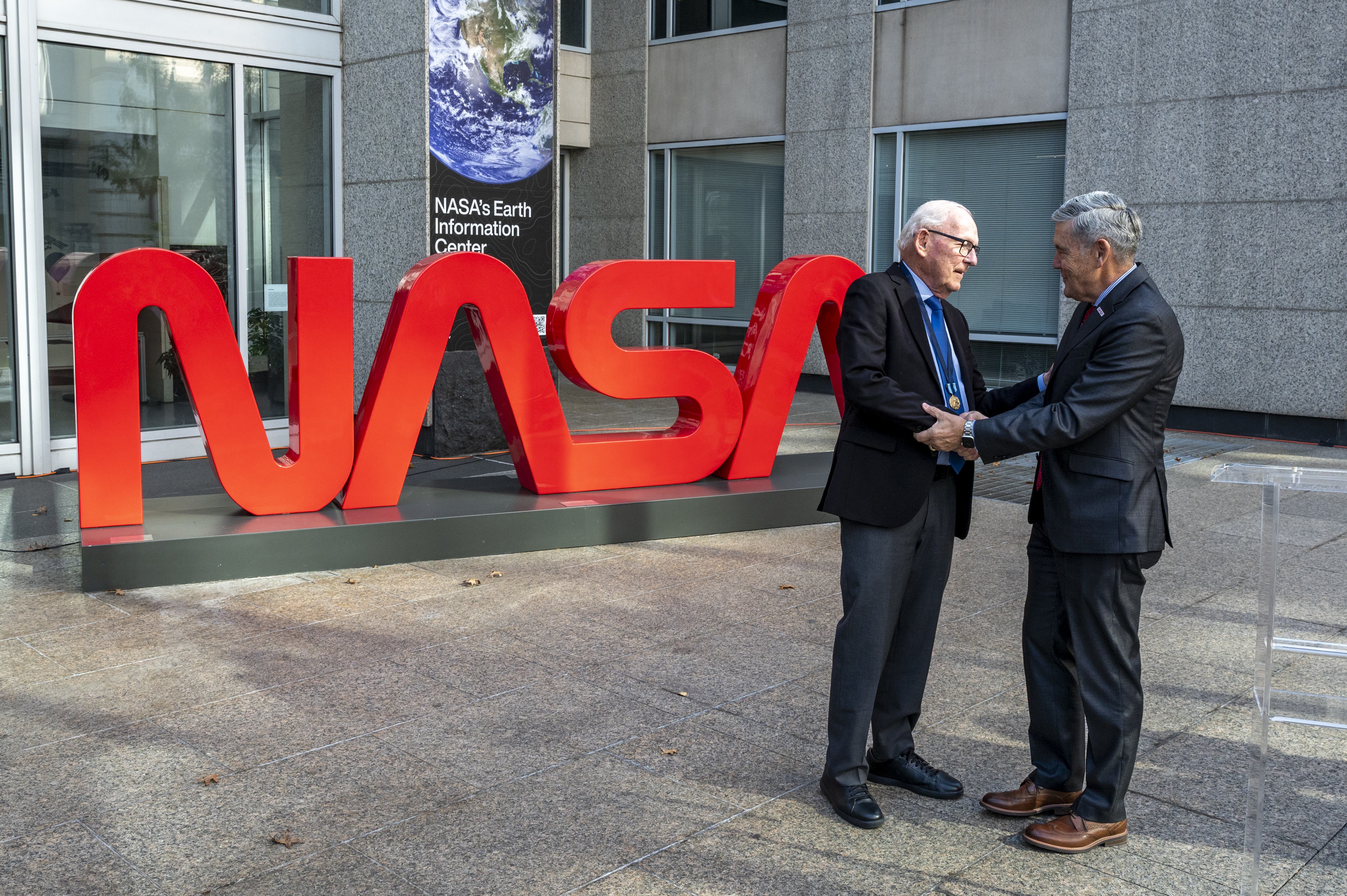


NASA’s Prithvi Becomes First AI Geospatial Foundation Model In Orbit
A team of researchers demonstrated NASA and IBM’s open-source Prithvi Geospatial artificial intelligence foundation model aboard two in-orbit platforms.

4 min read
NASA’s Prithvi Becomes First AI Geospatial Foundation Model In Orbit

A team of researchers from Adelaide University and the SmartSat Cooperative Research Center in South Australia has successfully uploaded and demonstrated NASA and IBM’s open-source Prithvi Geospatial artificial intelligence (AI) foundation model aboard two in-orbit platforms, making it the first geospatial foundation model to be deployed in orbit. Trained on 13 years’ worth of data, Prithvi can facilitate a wide variety of Earth observation tasks.
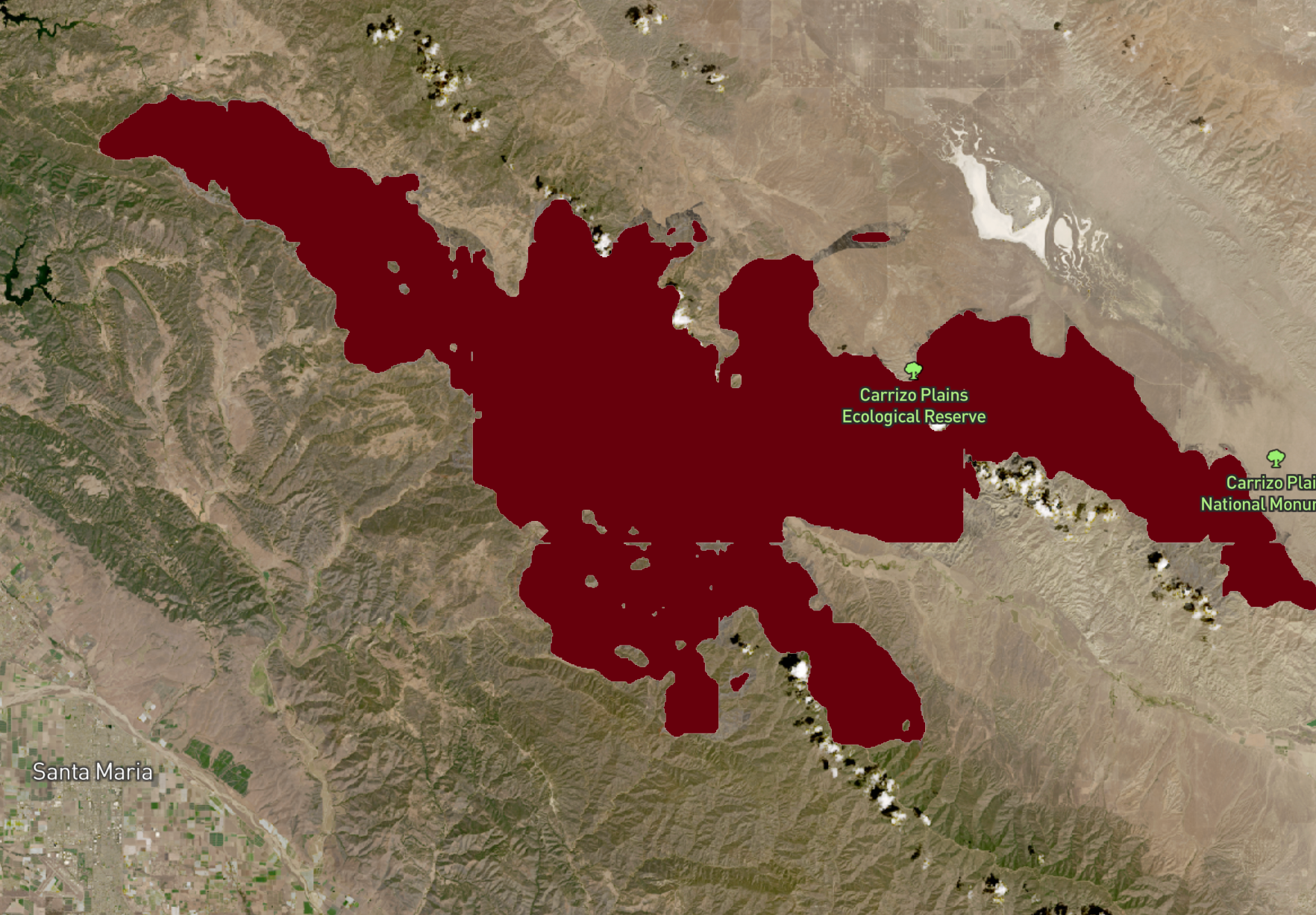
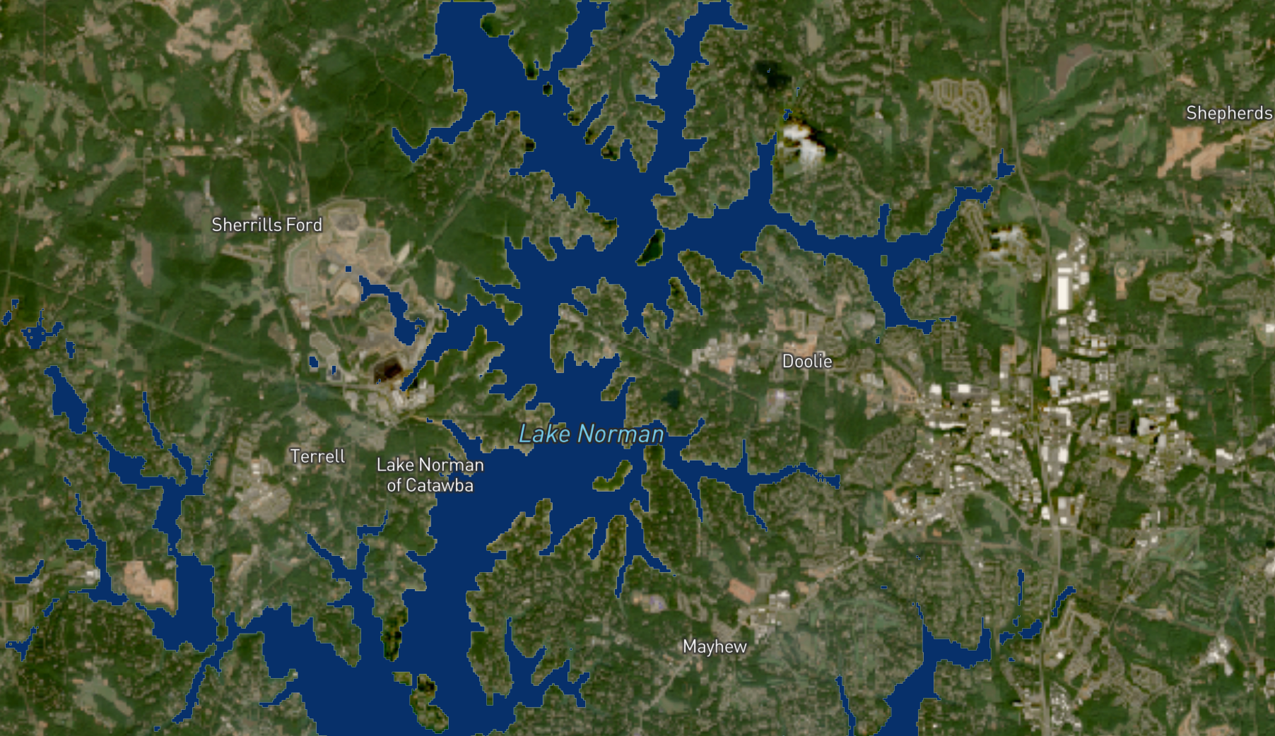
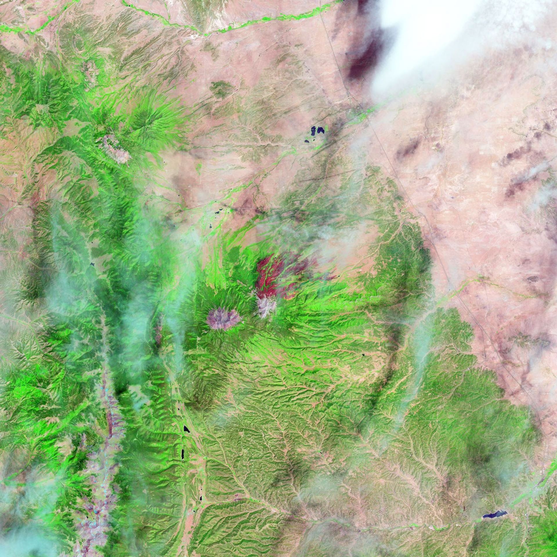
By uploading a compressed version of Prithvi to the South Australian government’s Kanyini satellite and to the Thales Alenia Space IMAGIN-e (ISS Mounted Accessible Global Imaging Nod-e) payload aboard the International Space Station, the researchers tested the model’s flood and cloud detection performance across two different orbiting platforms and computing environments.
The team chose Prithvi for their research because of its strong generalization across Earth observation tasks, and because of its availability as an open-source model.
“If Prithvi weren’t open source, I would have to train my own foundation model,” said Dr. Andrew Du, the project’s lead researcher, who is a postdoctoral researcher at Adelaide University and an AI engineer at the SmartSat Cooperative Research Center. “Having that model openly available saved a lot of time and effort.”
A foundation model is an AI model trained on an enormous amount of unlabeled data, which allows the model to begin detecting patterns in the data that humans wouldn’t notice on their own. The model can then be fine-tuned for specific applications using much smaller amounts of labeled data.
“Prithvi is the first model of its kind to be deployed in orbit, and that demonstrates exactly why we make our AI models open source,” said Kevin Murphy, chief science data officer at NASA Headquarters in Washington, whose office led the collaboration that created Prithvi. “By sharing these tools with anyone who wants to use them, we accelerate scientific and technological development into the future.”
Developed by a team of data scientists from IBM and NASA’s IMPACT team within the Office of Data Science and Informatics at NASA’s Marshall Space Flight Center in Huntsville, Alabama, the Prithvi Geospatial model was trained on the Harmonized Landsat and Sentinel-2 dataset. This dataset compiles over a decade of global geospatial data from NASA’s Landsat and ESA (European Space Agency) Sentinel-2 satellites. Prithvi can be adapted for tasks such as mapping flood plains, monitoring disasters, and predicting crop yields.
By sharing these tools with anyone who wants to use them, we accelerate scientific and technological development into the future.
Kevin Murphy
NASA Chief Science Data Officer and Acting Chief Data Officer/Chief AI Officer
Earth-observing satellites collect enormous amounts of data about our planet. Processing and analyzing the data in orbit before the satellite sends it back to Earth can help researchers gain insights more quickly. However, active satellites often can’t accept large software updates because of bandwidth limits, so the AI models they carry for data analysis tend to be lightweight and highly specialized.
Researchers can use the flexibility of a foundation model to facilitate a wide range of Earth observation tasks in one software architecture. If they want the model to take on a new task once the satellite is in orbit, they only need to upload a small extra decoder package – using far less bandwidth than uploading a whole new model to the satellite.
Sending Prithvi to orbit is an early demonstration of how foundation models could transform Earth observation. In addition to data analysis, foundation models could eventually help scientists interact with the instruments collecting the data.
“A large language model is also a type of foundation model,” Du said. “In the future, this could allow operators to interact with satellites in natural language, asking questions about onboard data or system status and receiving responses in a conversational way.”
The NASA team behind Prithvi continues to work on open-source foundation models trained on NASA data. A heliophysics model, Surya, was released in 2025, and the team intends to create foundation models for planetary science, astrophysics, and biological and physical sciences as well.
The Prithvi Geospatial foundation model is funded by the Office of the Chief Science Data Officer within NASA’s Science Mission Directorate at NASA Headquarters in Washington. The Office of the Chief Science Data Officer advances scientific discovery through innovative applications and partnerships in data science, advanced analytics, and artificial intelligence. To learn more about NASA’s AI foundation models and other AI tools for science, visit:
https://science.nasa.gov/artificial-intelligence-science
By Lauren Leese
Web Content Strategist for the Office of the Chief Science Data Officer
Share
Details
Related Terms
Explore More


What's Your Reaction?