


Sols 4226-4228: A Powerful Balancing Act
Earth planning date: Tuesday, June 25, 2024 As documented in a previous blog last week, we continue to juggle power constraints as we focus on analyzing our newest drilled sample on Mars: “Mammoth Lakes 2.” Today, the star of the show is a planned dropoff to SAM (Sample Analysis at Mars instrument suite) and evolved […]

2 min read
Sols 4226-4228: A Powerful Balancing Act
Earth planning date: Tuesday, June 25, 2024
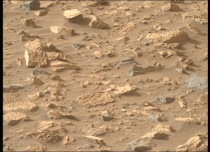
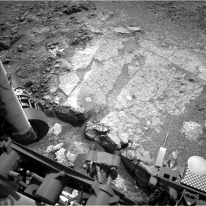
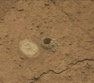
As documented in a previous blog last week, we continue to juggle power constraints as we focus on analyzing our newest drilled sample on Mars: “Mammoth Lakes 2.” Today, the star of the show is a planned dropoff to SAM (Sample Analysis at Mars instrument suite) and evolved gas analysis of the drill sample. This activity requires significant power so the team had to be judicious in planning other science observations and balancing the power needs of the different activities.
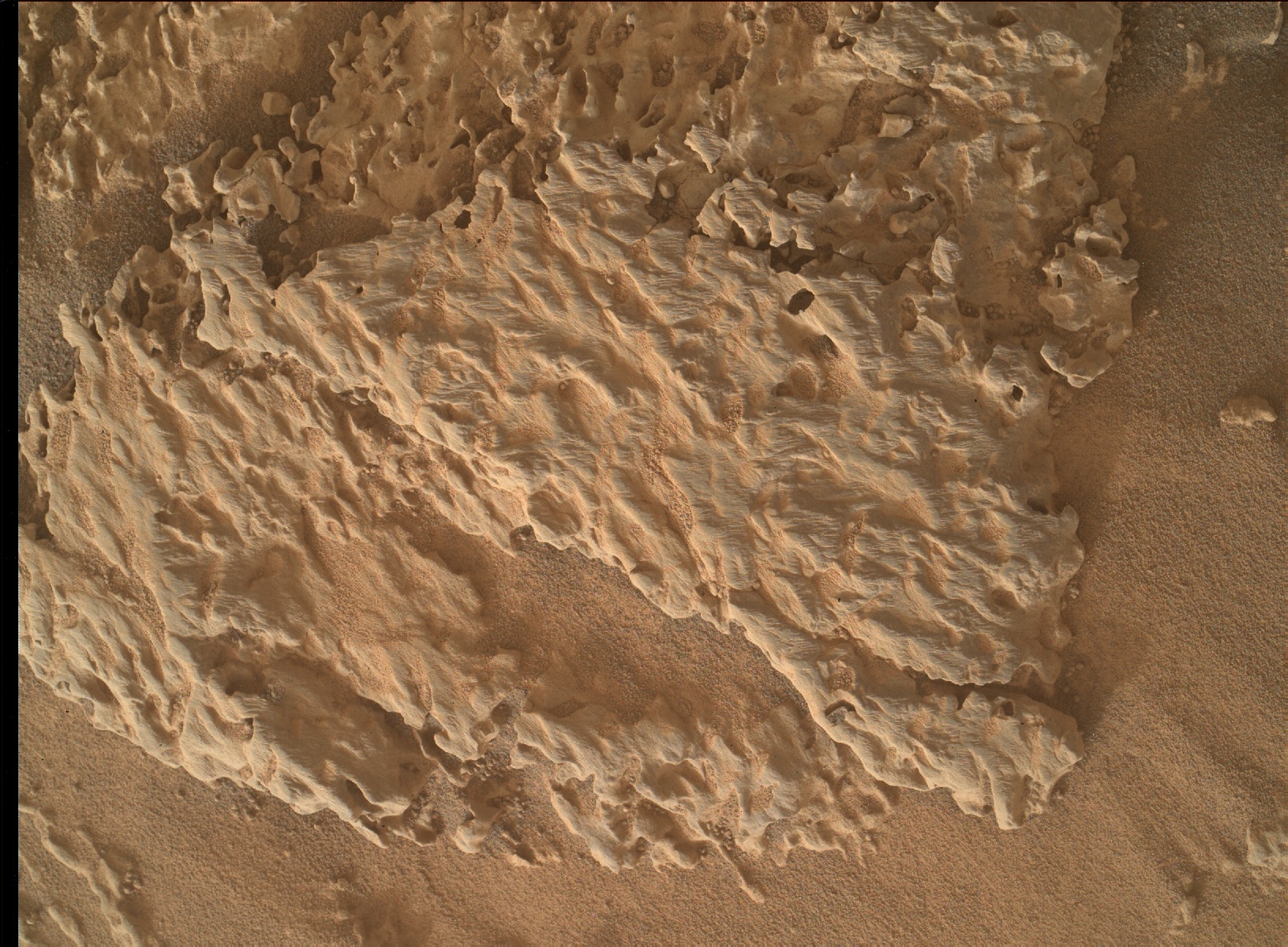
While the team eagerly awaits the outcome of the SAM and CheMin (Chemistry and Mineralogy X-Ray Diffraction instrument) analyses of Mammoth Lakes 2, we continue to acquire other observations in this fascinating area that will assist in our interpretations of the mineralogical data. ChemCam (the Chemistry and Camera instrument) will fire its laser at the “Loch Leven” target to get more chemical data on a target that was previously analyzed by APXS (the Alpha Particle X-Ray Spectrometer). “Loch Leven” is an example of gray material that rims the Mammoth Lakes drill block. The remote imaging capabilities of the ChemCam instrument will also be utilized to acquire a mosaic of a nearby area with interesting lighter- and darker-toned patches within the exposed rocks. Mastcam (Mast camera, for color stills and video) will document the ChemCam “Loch Leven” target and image the Mammoth Lakes 2 drill hole and surrounding fines to monitor any changes resulting from wind. We will also acquire extensions to two previous Mastcam mosaics: “Camp Four” and “Falls Ridge.”
To continue monitoring atmospheric conditions, the team also planned a Navcam (grayscale, stereoscopic Navigation cameras) large dust devil survey and Mastcam tau observation, an overhead image to measure dust in the atmosphere above Curiosity. Standard DAN (Dynamic Albedo of Neutrons instrument), REMS (Rover Environmental Monitoring Station), and RAD (Radiation Assessment Detector) activities round out the plan.
Written by Lucy Thompson, Planetary Geologist at University of New Brunswick
Share
Details
Related Terms
Explore More

What's Your Reaction?