


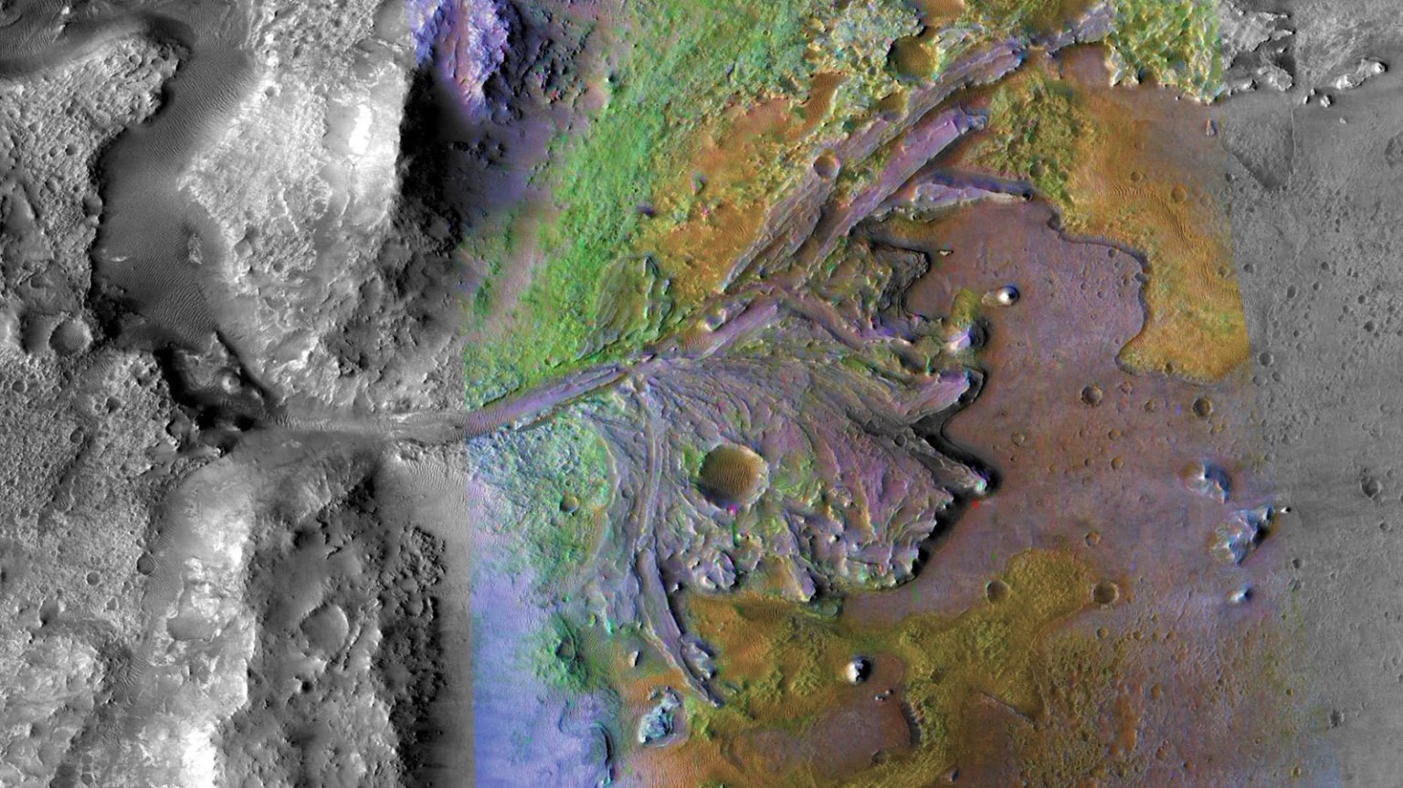
Sols 4321-4322: Sailing Out of Gediz Vallis
Earth planning date: Monday, Sept. 30, 2024 For the past few plans, Curiosity has been wrapping up its science campaign within Gediz Vallis. Over the weekend, the rover completed analyses on white stones encountered while departing the channel, before continuing along the western margin of Gediz Vallis. As we exit the channel, a metaphorical red […]
2 min read
Sols 4321-4322: Sailing Out of Gediz Vallis

Earth planning date: Monday, Sept. 30, 2024
For the past few plans, Curiosity has been wrapping up its science campaign within Gediz Vallis. Over the weekend, the rover completed analyses on white stones encountered while departing the channel, before continuing along the western margin of Gediz Vallis. As we exit the channel, a metaphorical red buoy to our left, uncharted terrain lay ahead.
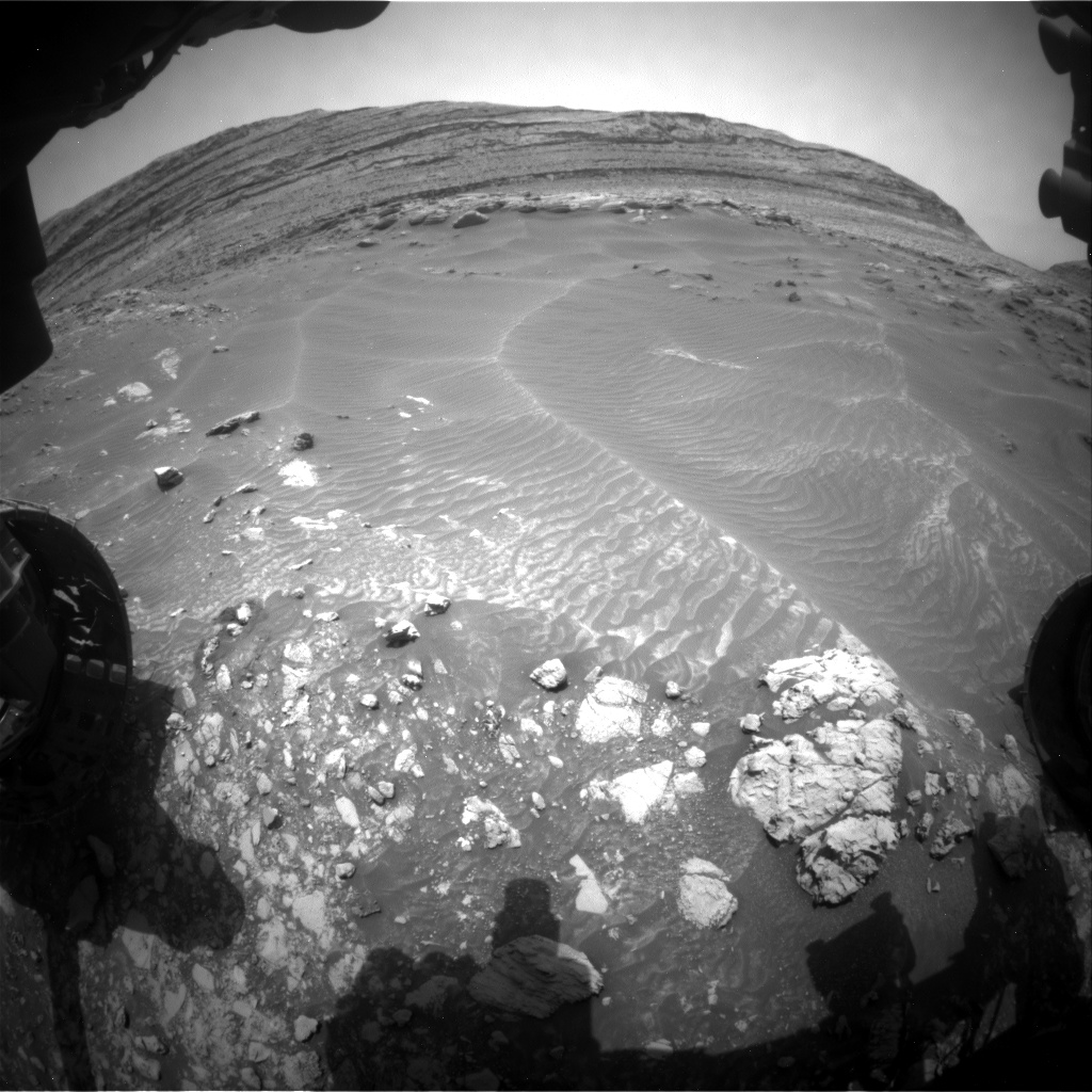
Today’s two-sol plan commenced with APXS and MAHLI completing a thorough sounding of the target “Flat Note Lake,” the seemingly brighter rock in the left-middle of the image just below a darker cobble and on the margin of swell-like sand ripples. Curiosity also focused ChemCam’s telescope on several key beacons in the landscape. The first target, “Cactus Point,” received a number of laser shots from ChemCam, akin to signaling with a lighthouse to assess its elemental message back to the ship. ChemCam’s RMI captured high-definition mosaics of key formations including rugged yardangs, formations that would not take too kindly to contact with a vessel’s hull. Mastcam complemented these observations with its own survey of the local area, capturing targets that included “Tombstone Ridge,” “Balloon Dome,” “Pinnacle Ridge,” “Clyde Spires,” “Confusion Lake” and “Pilot Peak” in addition to Cactus Point. A lengthy DAN passive measurement was completed in parallel, akin to a depth sounder probing the terrain beneath our hull. With the scientific reconnaissance of the first sol complete, Curiosity tested its metaphorical rigging in the form of trying out some Feed-Extended Sample Transfer arm activities in parallel with a telecommunications window before setting course out of the channel. This is similar to the test we did sols 4311-4313, and will hopefully help us become more efficient in the future.
The second sol of the plan was primarily focused on gathering environmental data and performing post-departure imaging in preparation for Wednesday’s plan, analogous to a ship trimming its sails and adjusting the helm as it exits a sheltered cove. ChemCam completed a calibration activity, fine-tuning its sextant in preparation for its next round of observations. Environmental monitoring and a SAM activity rounded out the second sol of the plan.
Written by Scott VanBommel, Planetary Scientist at Washington University
Share
Details
Related Terms
Explore More


What's Your Reaction?