Sols 4336-4337: Where the Streets Have No Name
Earth planning date: Wednesday, Oct. 16, 2024 Curiosity continues to drive along the western edge of the upper Gediz Vallis channel. After exiting the channel a few weeks ago, we turned north to image the “back side” of the deposits that we investigated on the eastern side before the channel crossing. As a member of […]

2 min read
Sols 4336-4337: Where the Streets Have No Name
Earth planning date: Wednesday, Oct. 16, 2024
Curiosity continues to drive along the western edge of the upper Gediz Vallis channel. After exiting the channel a few weeks ago, we turned north to image the “back side” of the deposits that we investigated on the eastern side before the channel crossing. As a member of the Channel Surfers working group, we believe that acquiring these views will help further our understanding of the geometry, nature, and evolution of these landforms. The bumpy terrain in front of us, however, plays a role in determining our route and length of drive. The rover planners on the team always do a fantastic job in charting the course on this once-in-a-lifetime road trip. I like to imagine Curiosity with the windows down, blaring U2, as she steadily blazes a new path across the sulfate unit.
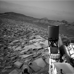
With an eye towards imaging in this two-sol plan, Mastcam crafted a large mosaic of “Fascination Turret” that rises above the channel floor. ChemCam fit an unprecedented number of long distance RMI images in the plan that will document the upper extent of the white stone deposit, the nature of the “Kukenan” mound, and characterize the rocks in Fascination Turret at targets named “Chimney Tree” and “Forgotten Canyon.” In our immediate workspace, ChemCam used the Laser Induced Breakdown Spectroscopy (LIBS) instrument on a laminated (very thinly bedded) bedrock in the workspace at “Puppet Lake” to determine its chemical composition, which will be documented with a coordinating Mastcam image. MAHLI and AXPS teamed up to analyze a cluster of small gray rocks in front of us at “Jumble Lake.”
The second sol includes a 25-meter (about 82 feet) drive to the west/northwest as we continue along our path adjacent to the channel. The Environmental theme group included a range of activities such as a Mastcam tau that will measure the optical depth of the atmosphere and constrain aerosol scattering properties, dust devil movies, and a suprahorizon movie to monitor clouds.
Written by Sharon Wilson Purdy, Planetary Geologist at the Smithsonian National Air and Space Museum
Share
Details
Related Terms
What's Your Reaction?


