Sols 4355-4356: Weekend Success Brings Monday Best
Earth planning date: Monday, Nov. 4, 2024 After a spooky week last week, it’s great to see all our weekend plans succeed as planned! We don’t take success for granted as a rover going on 13 years. With all of the science at our fingertips and all the battery power we could need, the team […]
3 min read
Sols 4355-4356: Weekend Success Brings Monday Best

Earth planning date: Monday, Nov. 4, 2024
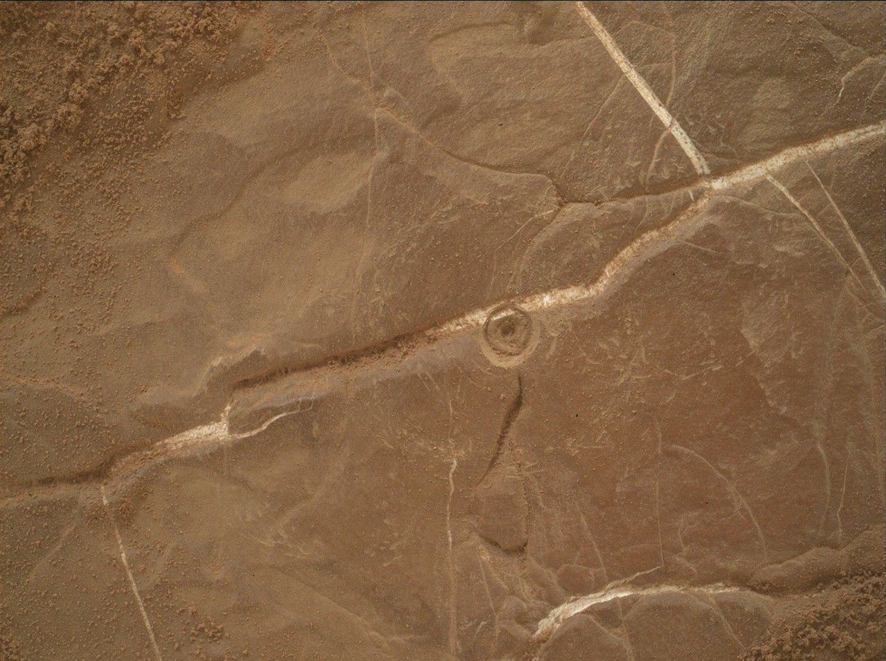
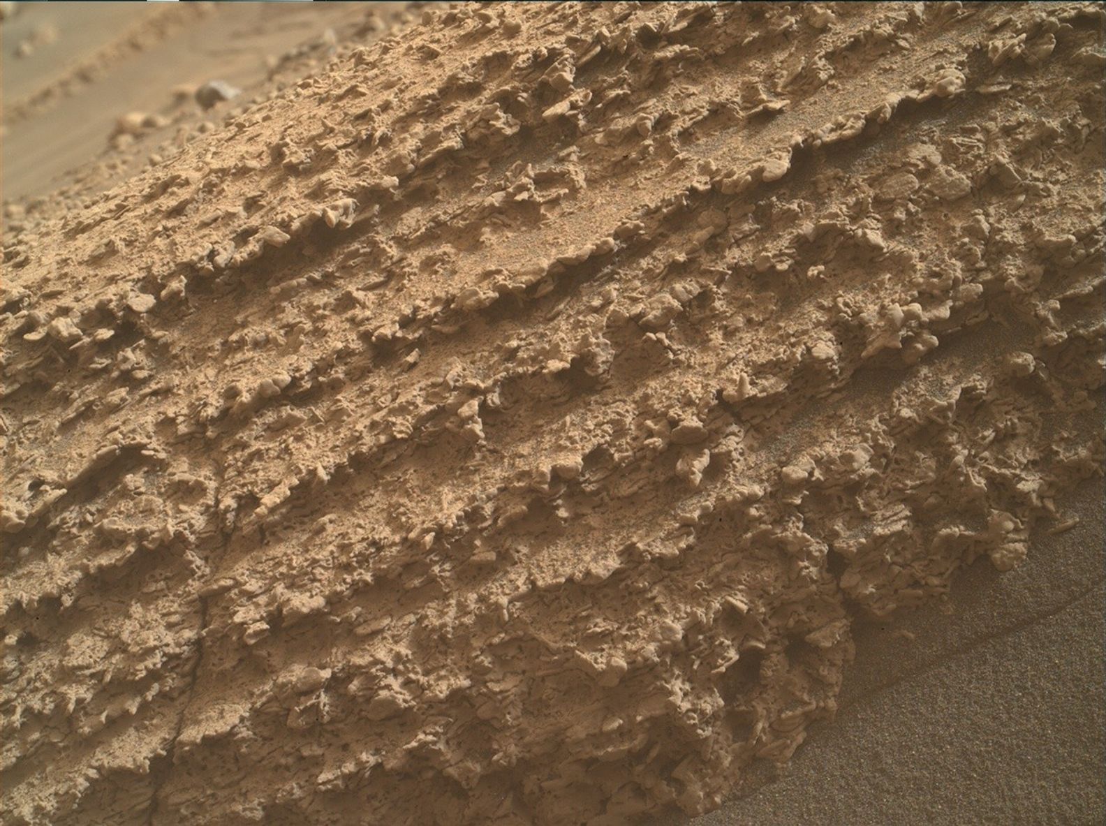
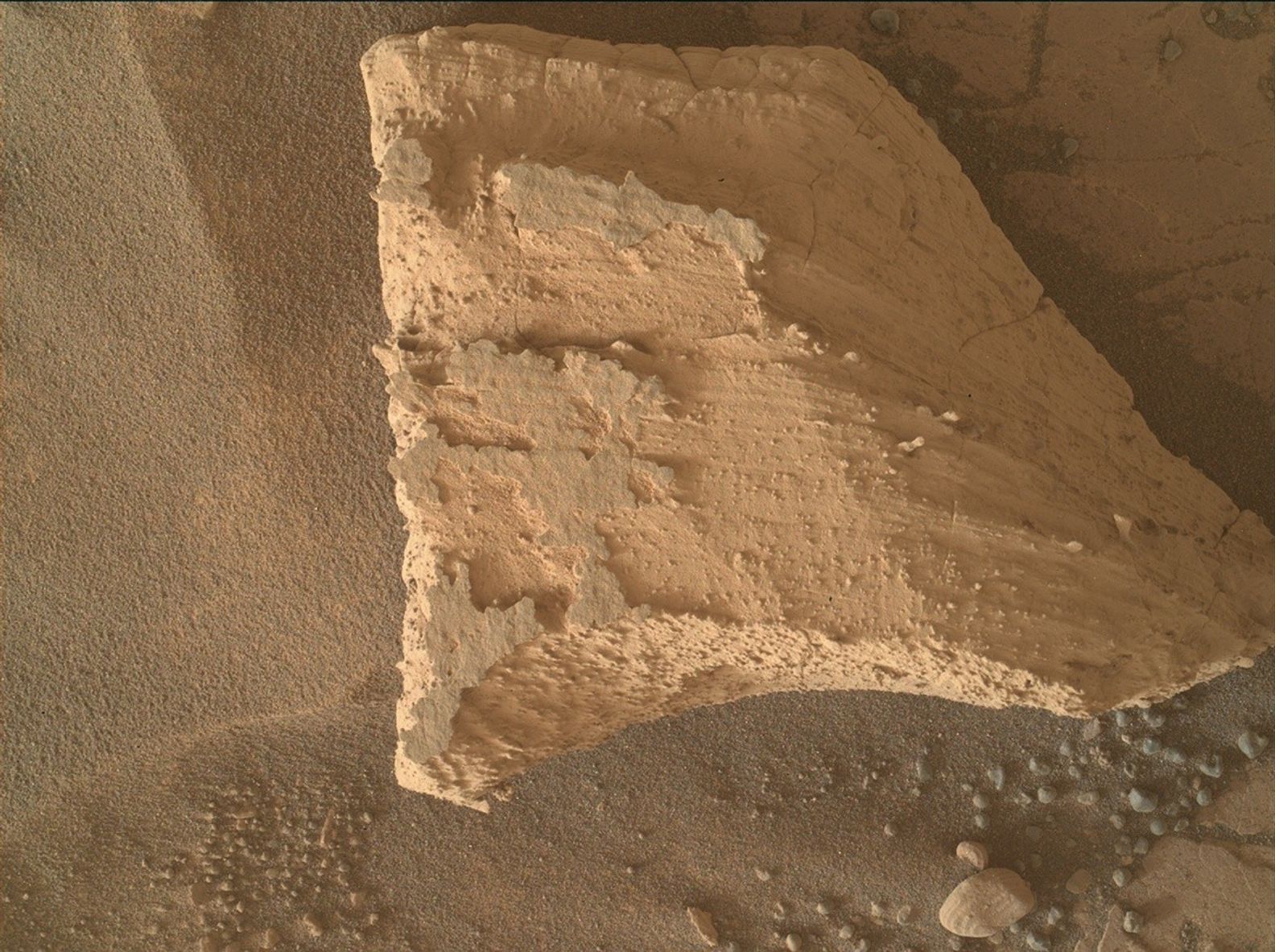
After a spooky week last week, it’s great to see all our weekend plans succeed as planned! We don’t take success for granted as a rover going on 13 years. With all of the science at our fingertips and all the battery power we could need, the team took right advantage of this two-sol touch-and-go Monday plan. We have a bedrock DRT target for APXS and MAHLI named “Epidote Peak” and a MAHLI-only target of a crushed rock we drove over named “Milly’s Foot Path.”
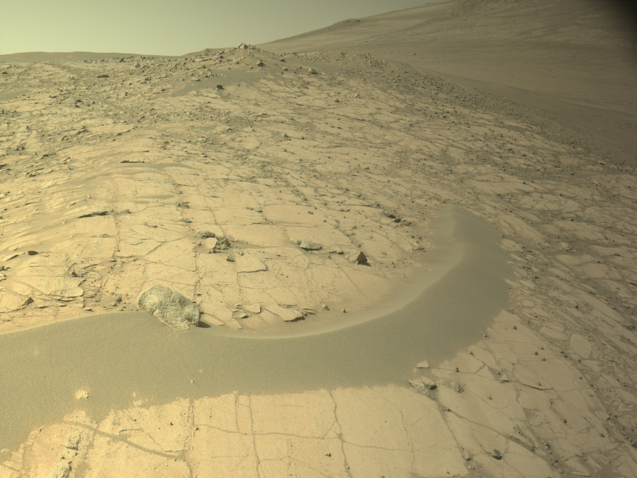
APXS data is better when it’s cold, so we’ve planned the DRT brushing and APXS to start our first sol about 11:14 local Gale time. MAHLI images are usually better in the afternoon lighting, so we’ll leave the arm unstowed and spend some remote science time beforehand, about 12:15 local time. ChemCam starts that off with a LIBS raster over a bedrock block with some interesting light and dark layering, named “Albanita Meadows” and seen here in the the upper-right-ish of this Navcam workspace frame. ChemCam will then take a long-distance RMI mosaic of a portion of the upper Gediz Vallis ridge to the north. Mastcam continues the remote science with an Albanita Meadows documentation image, a 21-frame stereo mosaic of some dark-toned upturned blocks about 5 meters away (about 16 feet), a four-frame stereo mosaic of some polygonal fracture patterns about 20 meters away (about 66 feet), and a mega 44-frame stereo mosaic of Wilkerson butte, upper Gediz Vallis ridge, “Fascination Turret,” and “Pinnacle Ridge” in the distance. That’s a total of 138 Mastcam images! With remote sensing complete, the RSM will stow itself about 14:00 local time to make time for MAHLI imaging.
Between about 14:15 and 14:30 local time, MAHLI will take approximately 64 images of Epidote Peak and Milly’s Foot Path. Most of the images are being acquired in full shadow, so there is uniform lighting and saturation in the images. We’ll stow the arm at about 14:50 and begin our drive! This time we have an approximately 34-meter drive to the northwest (about 112 feet), bringing us almost all the way to the next dark-toned band in the sulfate unit. But no matter what happens with the drive, we’ll still do some remote science on the second sol including a Mastcam tau observation, a ChemCam LIBS in-the-blind (a.k.a AEGIS: Autonomous Exploration for Gathering Increased Science), and some Navcam movies of the sky and terrain.
Written by Natalie Moore, Mission Operations Specialist at Malin Space Science Systems
Share
Details
Related Terms
What's Your Reaction?


