


Sols 4495-4497: Yawn, Perched, and Rollin’
Written by Natalie Moore, Mission Operations Specialist at Malin Space Science Systems Earth planning date: Friday, March 28, 2025 Womp, womp. Another SRAP (Slip Risk Assessment Process) issue due to wheels being perched on these massive layered sulfate rocks. With our winter power constraints as tight as they are, though, keeping the arm stowed freed […]

2 min read
Sols 4495-4497: Yawn, Perched, and Rollin’
Written by Natalie Moore, Mission Operations Specialist at Malin Space Science Systems
Earth planning date: Friday, March 28, 2025
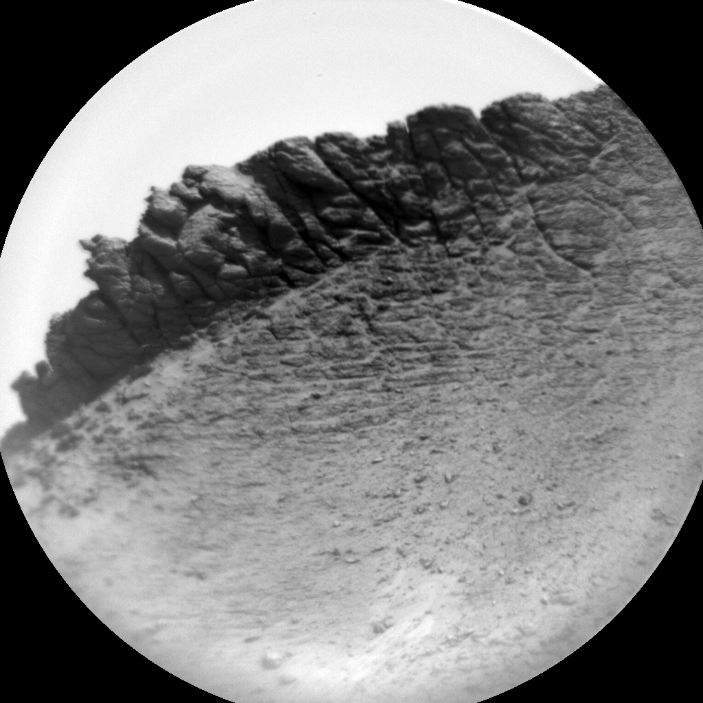
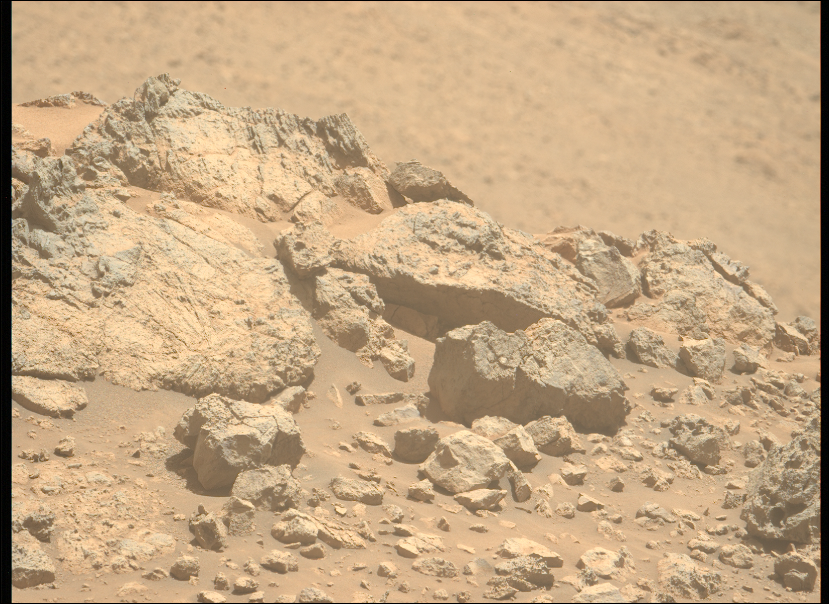
Womp, womp. Another SRAP (Slip Risk Assessment Process) issue due to wheels being perched on these massive layered sulfate rocks. With our winter power constraints as tight as they are, though, keeping the arm stowed freed up more time to check some lines off our rover’s weekend list. To do: SAM activity to exercise Oven 2 (check!), Navcam 360-degree “phase function” sky movie to monitor scattering of Martian clouds (check!), APXS atmospheric measurements of argon (check!), ChemCam passive sky measurements of oxygen (check!), and a drive of about 50 meters (about 164 feet) to the southwest (check!). Curiosity gets busy on the weekends so us PULs can do some lounging.
On the Mastcam team, we’ve been pretty busy in the layered sulfate unit. The rocks are rippled, layered, fractured, and surrounded by sandy troughs. Where did it all come from? What current and past processes are at play in this area? This weekend we’re collecting 70 images to help figure that out. ChemCam is helping by collecting chemistry measurements of the lowest block in this Navcam image, with two targets close by aptly named “Solana Beach” and “Del Mar.” To help conserve power, we’ve been trying to parallelize our activities as much as possible. Recently this means Mastcam has been taking images while ChemCam undergoes “TEC Cooling” to get as cold as possible before using their laser.
We’re all hoping the arm can come back from vacation next week.
Share
Details
Related Terms
Explore More


What's Your Reaction?