


Sols 4556-4558: It’s All in a Day’s (box)Work
Written by Sharon Wilson Purdy, Planetary Geologist at the Smithsonian National Air and Space Museum Earth planning date: Friday, May 30, 2025 When you are scheduled to participate in Science Operations for the rover’s weekend plan, you know it’s going to be a busy morning! Assembling the activities for Friday through Sunday (Sols 4556 through […]
2 min read
Sols 4556-4558: It’s All in a Day’s (box)Work

Written by Sharon Wilson Purdy, Planetary Geologist at the Smithsonian National Air and Space Museum
Earth planning date: Friday, May 30, 2025
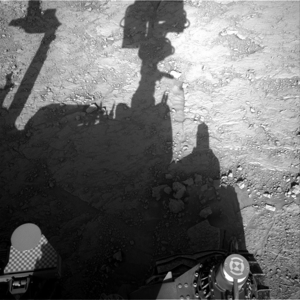
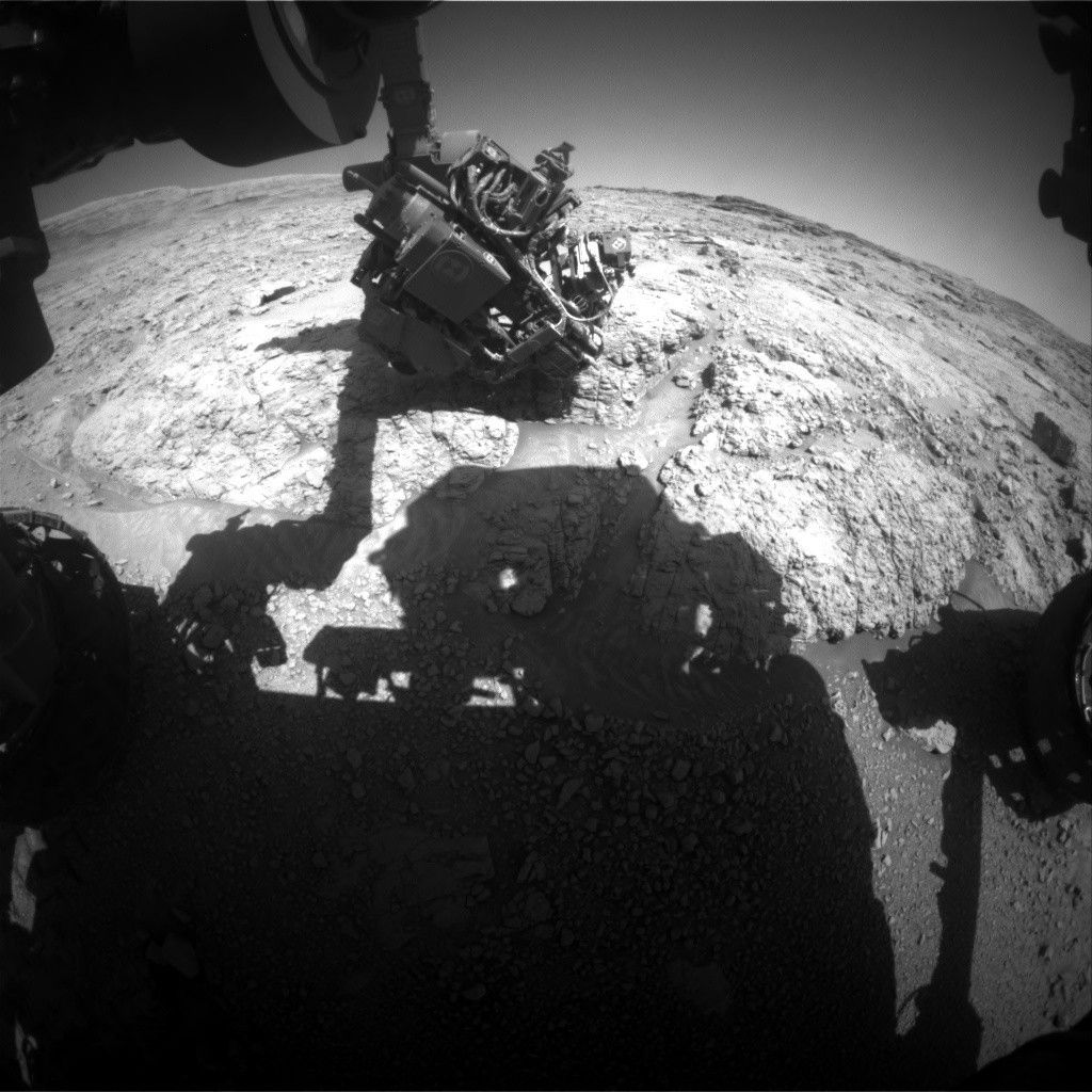
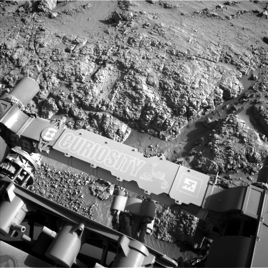
When you are scheduled to participate in Science Operations for the rover’s weekend plan, you know it’s going to be a busy morning! Assembling the activities for Friday through Sunday (Sols 4556 through 4558) was no exception. I participated on this shift as the “keeper of the plan” for the geology and mineralogy theme group where I worked with members of the science and instrument teams to compile a set of observations for the rover to complete over the weekend. The rover continues to drive over a surface of shallow, sometimes sand-filled depressions that are separated by raised ridges — informally known as the “boxwork structures.” On this Friday, we were tasked with assessing the ground in our immediate vicinity to determine if the low-lying bedrock in the hollows was suitable for drilling.
With a focus on packing the plan with remote sensing activities to understand the bedrock around us, we used the ChemCam laser to analyze the chemistry of two bedrock targets, “La Tuna Canyon” and “Cooper Canyon,” that were also documented by Mastcam. ChemCam and Mastcam also teamed up to image an interesting dark ridge nearby named “Encinal Canyon.” Mastcam created stereo mosaics to document the nature of the candidate drill sites that were near the rover, in addition to the “Blue Sky Preserve” stereo mosaic that beautifully captured the nature of the boxwork structures in front of us. The environmental theme group included some of their favorite activities in the plan to monitor the clouds, wind, and the atmosphere.
Curiosity has successfully completed numerous long drives (about 20+ meters, or 66 feet and beyond) in the past several weeks but this weekend the rover got a bit of a reprieve — the rover will drive approximately 7 meters (about 23 feet) to get situated in front of a possible drill site. I’m eagerly looking forward to seeing what unfolds on Monday!
.
Share
Details
Related Terms
Explore More


What's Your Reaction?