Tech Today: Remote Sensing Technology Fights Forest Fires
Enabled by NASA Sensors and Technical Assistance
3 min read
Preparations for Next Moonwalk Simulations Underway (and Underwater)
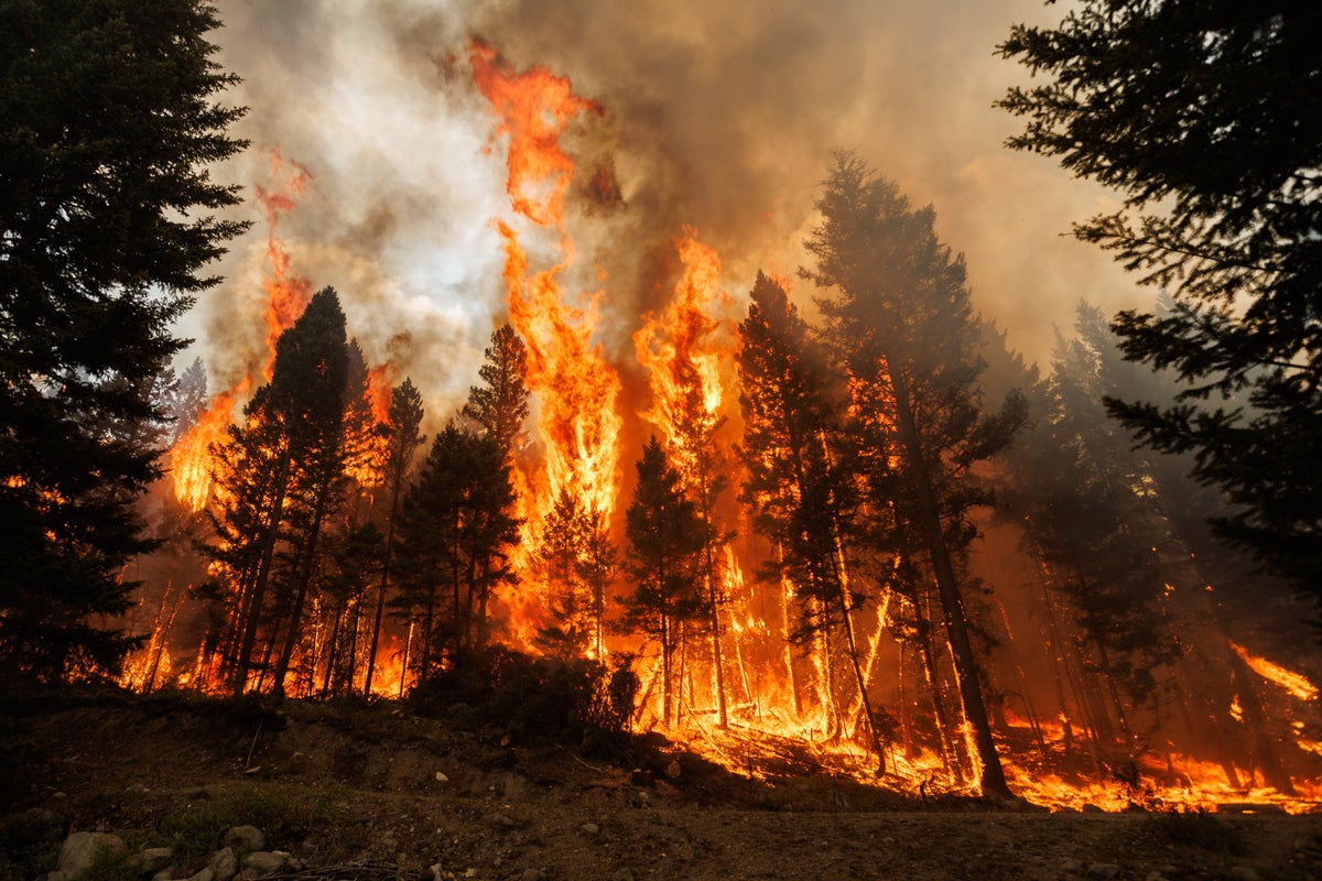
It’s not easy to predict the path of forest fires—a lot depends on constantly changing factors like wind. But it is crucial to be as accurate as possible because the lives, homes, and businesses of the tens of thousands of people living and working in fire-prone areas depend on the reliability of these predictions. Sensors mounted on airplanes or drones that provide a picture of the fire from above are an important tool, and that’s where NASA comes in.
In partnership with the U.S. Forest Service, local and state firefighting agencies, and the Bureau of Land Management, NASA plays a pivotal role in battling infernos. The agency’s extensive experience and technical expertise in remote sensing technology have significantly improved the speed and accuracy of information relayed to firefighting decision-makers.
According to Don Sullivan, who specialized in information technology design at the time, the Airborne Science Program at NASA’s Ames Research Center in Silicon Valley, California, was integral to that effort.
In the 1990s, NASA began a project to adapt uncrewed aircraft for environmental research. The researchers at Ames wanted to ensure the technology would be useful to the broadest possible spectrum of potential end users. One concept tested during the project was sending data in real-time to the ground via communications links installed on the aircraft.
That link sent data faster and to multiple recipients at once—not just the team on the fire front line, but also the commanders organizing the teams and decision makers looking at the big picture across the entire region throughout the fire season, explained Sullivan.
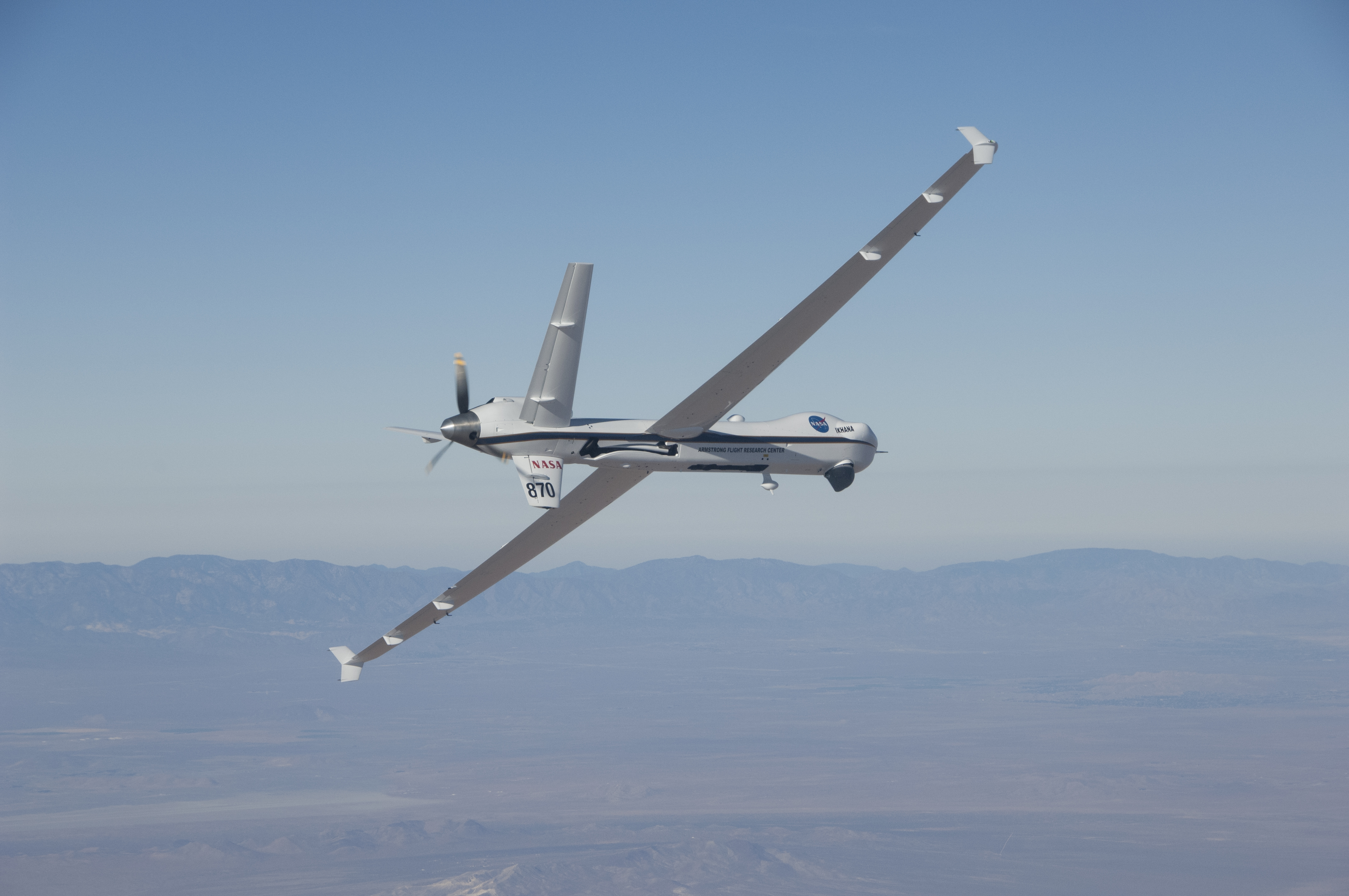
For the Forest Service, this was a much-needed upgrade to the original system on their crewed jets: rolling up a printout and later thumb drives with thermal sensor data placed into a plastic tube attached to a parachute and dropped out of the airplane. NASA’s remotely piloted aircraft called Ikhana tested the technology, and it’s still used by the agency to collect data on wildfires.
Since the introduction of this technology, wildfires have gotten bigger, burn hotter, and set new records every year. But in California in 2008, this technology helped fight what was then the worst fire season on record. A NASA test flight using a data downlink system provided updated information to the incident managers that was crucial in determining where to send firefighting resources and whether a full evacuation of the town of Paradise was needed.
Without that timely information, said Sullivan, “there likely would have been injuries and certainly property damage that was worse than it turned out to be.”
Share
Details
Related Terms
What's Your Reaction?


