


NASA Students Get Airborne View of Atmospheric Science at Ellington Field
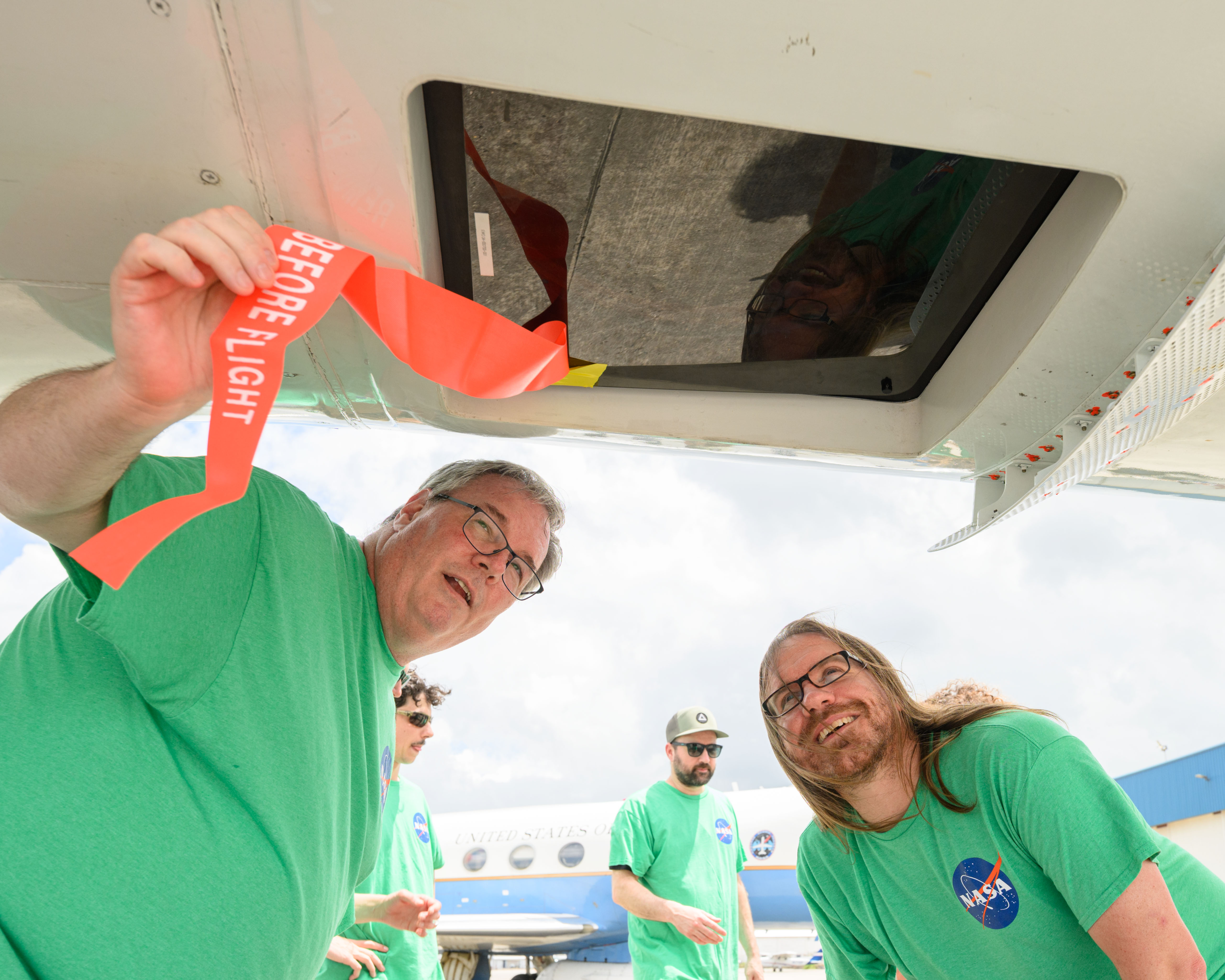
From June 3 to 13, aircraft at Ellington Field in Houston gave students a firsthand look at how scientists study Earth from the air. Through NASA’s Student Airborne Research Program, or SARP, students learned how airborne field campaigns collect data used in atmospheric science, ecology, air quality research, and climate modeling. This year’s activity took place […]
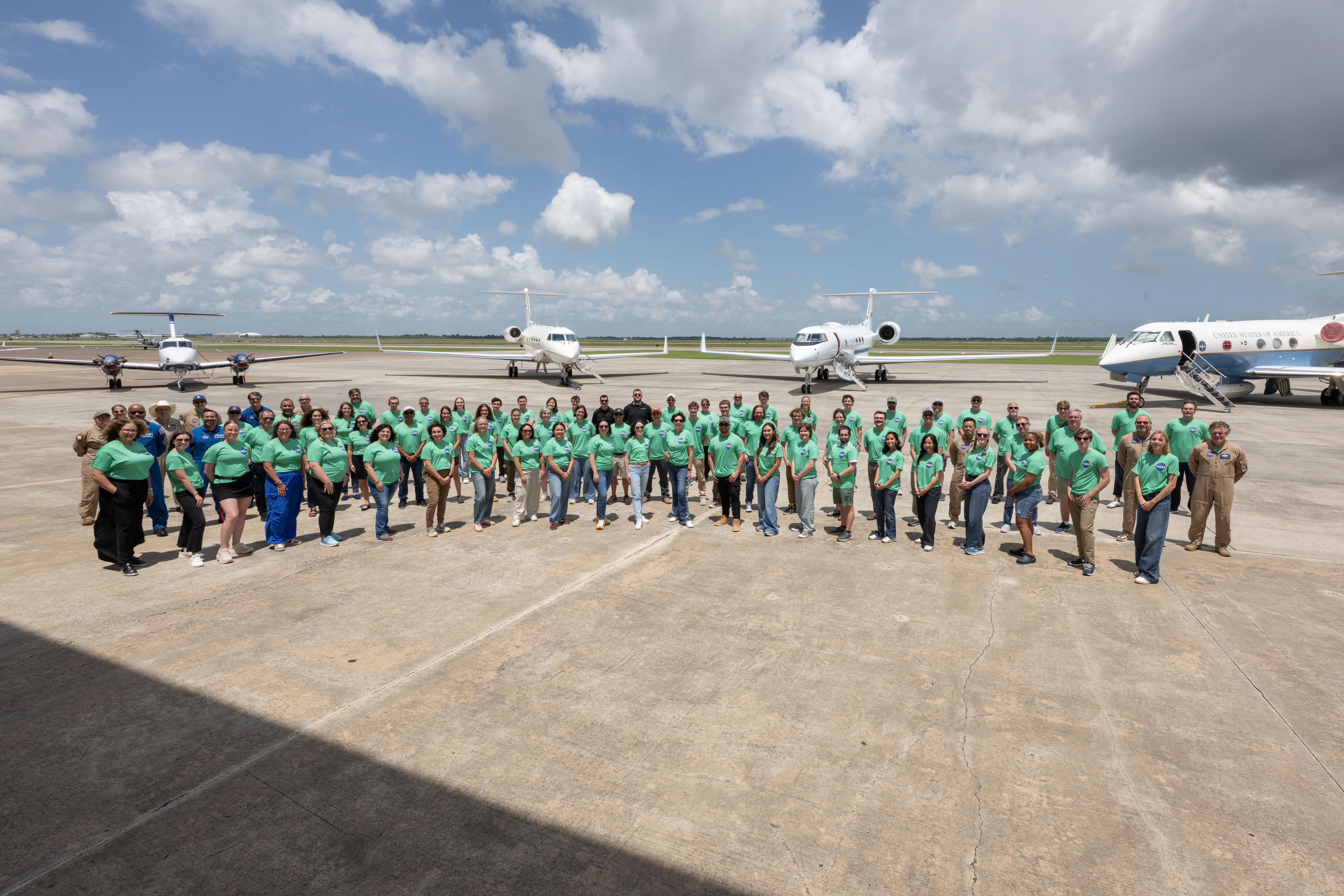
From June 3 to 13, aircraft at Ellington Field in Houston gave students a firsthand look at how scientists study Earth from the air.
Through NASA’s Student Airborne Research Program, or SARP, students learned how airborne field campaigns collect data used in atmospheric science, ecology, air quality research, and climate modeling.
This year’s activity took place alongside an air quality campaign led by NOAA (National Oceanic and Atmospheric Administration), giving students a chance to see how federal agencies work together to study Earth’s atmosphere.
“Every SARP flight is more than a mission; it’s a classroom in the sky, where students learn how science is planned, executed, and transformed into discovery,” said NASA’s Ames Research Center Earth Science Project Specialist Vidal Salazar.
The NOAA effort allowed NASA to build on active atmospheric research already underway in Texas. By integrating additional aircraft into the campaign, students gained access to a real-world research environment and saw how scientists collect data from the air.
Students attend daily lectures, take coding classes, work with instrument teams, and use campaign data and NASA’s extensive archive to design, implement, and present independent research projects.
“SARP is full of passionate individuals who work together to inspire the next generation of Earth scientists,” said SARP Project Manager Joelle Hopkins.
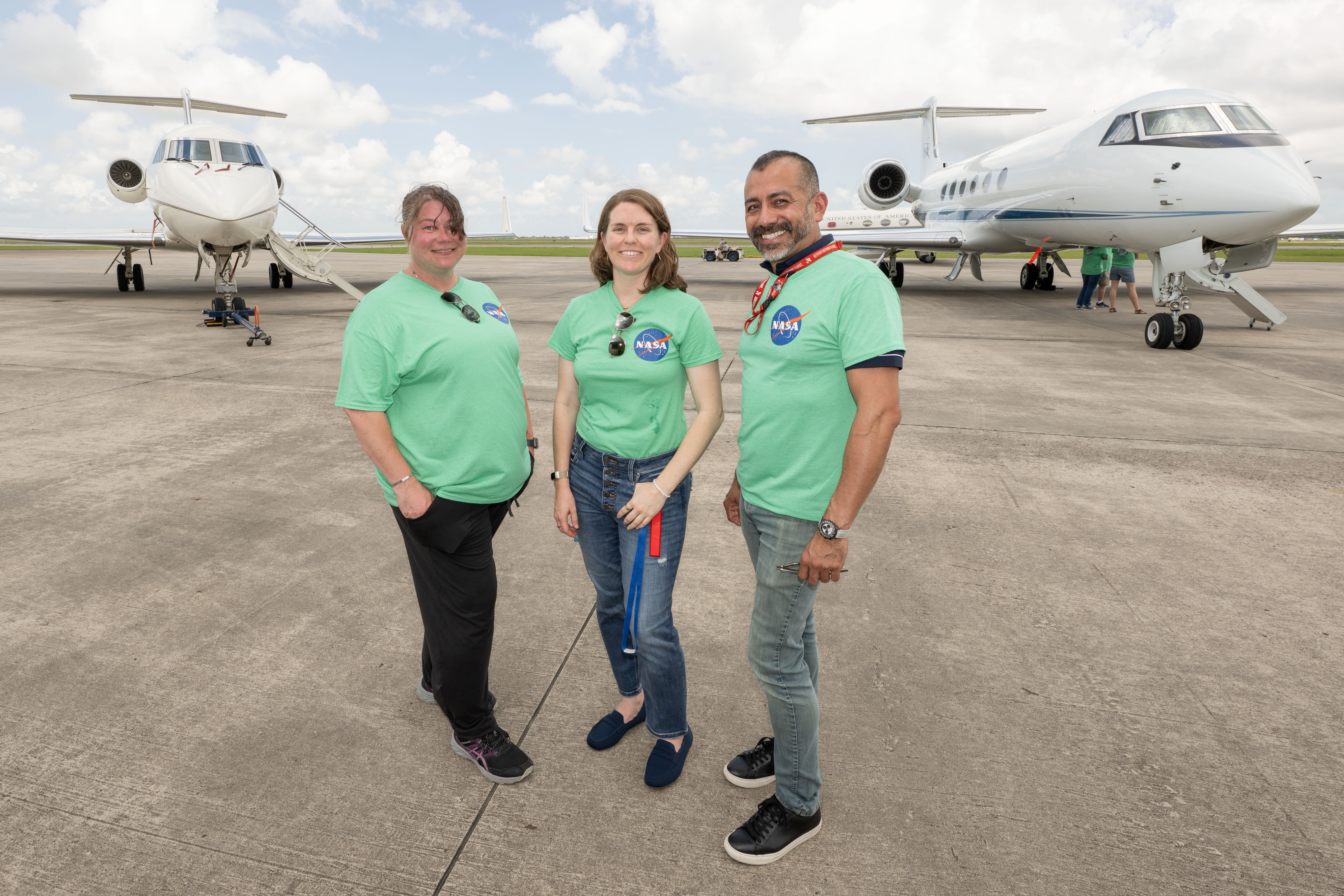
Students work with NASA subject matter experts throughout the program, giving them exposure to a range of career paths in airborne science.
“It is great seeing different students with very diverse backgrounds exploring the next step in their academic journey,” said NASA’s Goddard Space Flight Center Lead Forecaster Joe Finlon.
The operations involved the agency’s Gulfstream V (N95NA); Gulfstream C-20A (N802NA); and Gulfstream III (N520NA), as well as NOAA’s WP-3D Orion (N43RF), and a King Air B200 aircraft (N46L), owned by Dynamic Aviation and contracted by NASA.
The WP-3D Orion conducted maneuvers as low as 1,000 feet above ground level. Owned and operated by NOAA, the aircraft is used as a hurricane hunter and has supported several airborne science missions for NASA.
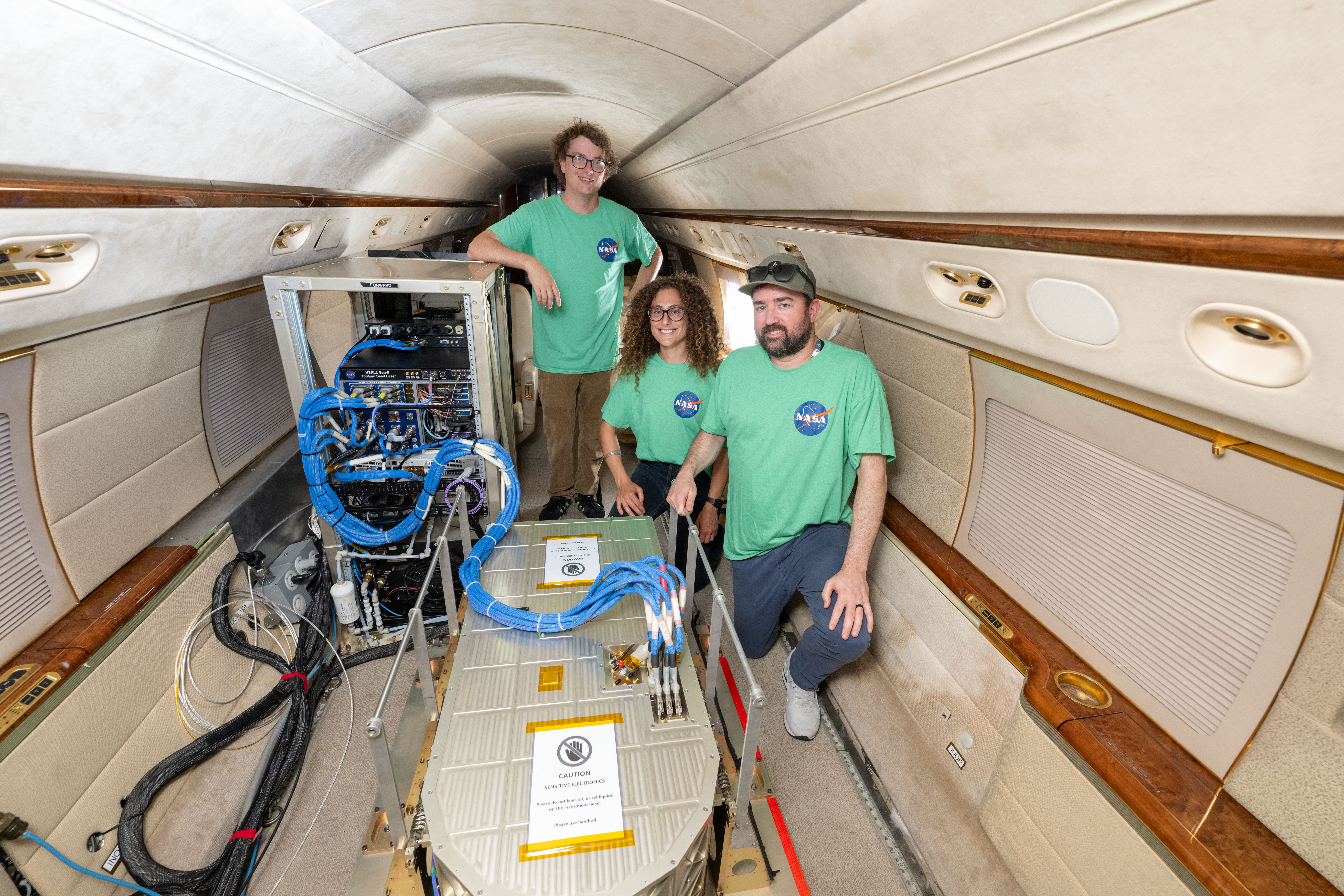
NASA aircraft also carried instruments that support atmospheric science and ecology research. One instrument – the Airborne Visible/Infrared Imaging Spectrometer, or AVIRIS – was used to characterize Earth’s surface and atmosphere. Additional atmosphere and air quality measurements were collected by instruments including the High Spectral Resolution Lidar 2, GeoCAPE Airborne Spectrometer, Uninhabited Aerial Vehicle Synthetic Aperture Radar, and Aerosol Wind Profiler.
Low-altitude flights are important for this type of work because aircraft must fly close enough to Earth’s surface for instruments to collect data at the needed resolution.
For NOAA’s campaign, aircraft measurements can help researchers study air quality conditions and feed data into numerical models. Since similar measurements are collected over time, researchers can compare conditions from year to year and better understand changes in pollution and atmospheric chemistry.


What's Your Reaction?